
Overview
AI-enabled and unmanned are some of the latest developments in defense and military technology applications. It provides recognition, identification, and inference for monitoring and surveillance, and most importantly, safety to the personnel behind the controls. Often seen in reconnaissance missions, vehicular or aerial drones are deployed into areas of interest. Mounted with sensors and cameras, the drone automatically acquires images, either through object recognition or motion detection and is able to live-feed images back to the control personnel for immediate analysis.
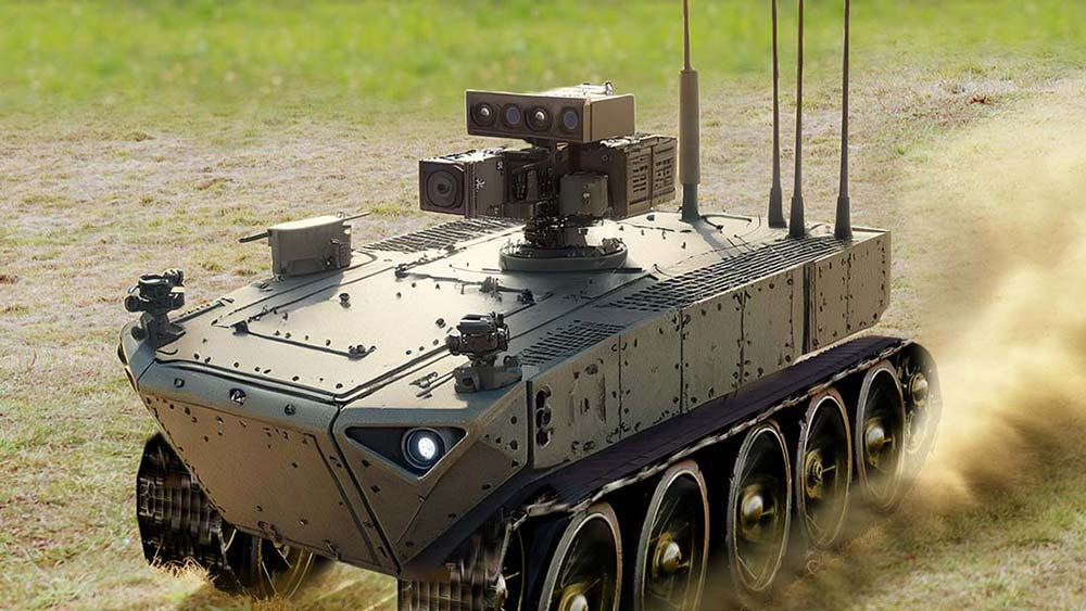 Unmanned vehicle
 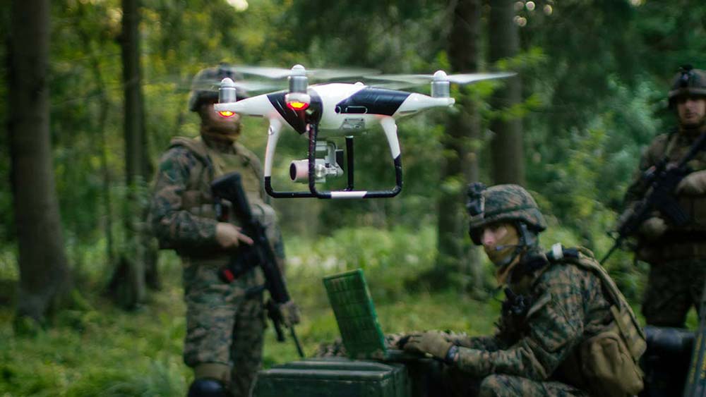 Unmanned aerial vehicle
 Or, if the drone was sent for a mapping mission, the personnel simply indicate the borders of the area of interest, the drone will systematically scan and map the area.
Challenges
Deploying computer systems for unmanned vehicular drone poses several challenges such as shock/ vibration, confined space deployment, outdoor weather conditions (sub-zero temperatures or extreme heat), energy consumption for operation duration, etc. The computer must also provide AI inference processing power and connectivity for cameras, sensors, actuators control for robotic arms and so forth, depending on the applications of the drone. And in addition to the challenges mentioned, though AI can provide certain degree of decision making (recognize and identify), telecommunication capability is also a must to provide live-feed imagery for monitoring, secondary analysis, or task execution confirmation purposes
Solution
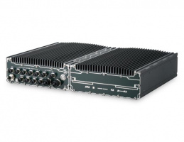
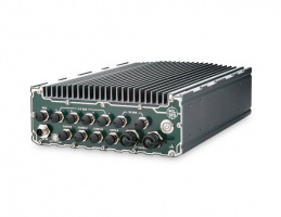
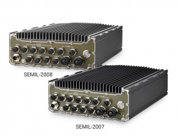
The system integrator chose to implement Neousys’ extreme rugged embedded solution that can thrive in extreme environmental conditions. The vehicular drone is deployed into the field connected with cameras and sensors connected to the Neousys’ system. With machine learning software in place, the drone sets out to identify specific targets in the designated area, and at the same time, the cameras scan the area and reconstructs the geological landscape of the area it passed through.
With various certifications (EN 45545/ EN 50155, CE/ FCC, etc.) to guarantee operation in shock and vibration environments, the system also comes with an NVIDIA GPU for inference computing that can withstand up to 62°C ambient operating temperature.
Perfect for quickly recognizing and identifying objects or targets of interest (pre-trained) in the field. With machine learning software in place, the drone sets out to identify specific targets in the designated area, and at the same time, the cameras scan the area and reconstructs the geological landscape of the area it passes through.
The system also comes with internal expansion slots for wireless module installation.
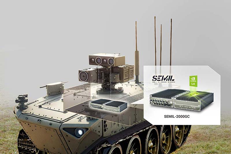 Vehicular drone connects with cameras and sensors connected to the Neousys’ system
 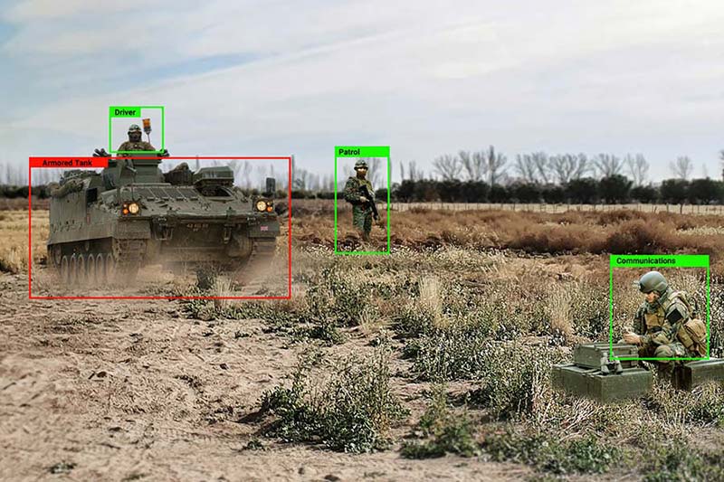 Identify specific targets in the designated area
 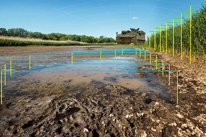 Reconstructs the geological landscape of the area
 - Learn more about Neousys Extreme Rugged Computers: https://www.neousys-tech.com/en/product/product-lines/rugged-computer
- Learn more about Neousys Low-SWaP AI Mission Computer: https://www.neousys-tech.com/en/product/product-lines/intelligent-video-analytics/drone/flyc-300